

July 2026 Meeting – On the Trail of St Edmund with Chris Parfitt
Saint Edmund, the original patron saint of England, was the 9th-century Anglo-Saxon King of East Anglia. He became King in 855 and was…
Saint Edmund, the original patron saint of England, was the 9th-century Anglo-Saxon King of East Anglia. He became King in 855 and was…

On 19th June, Ashley gave us a warm welcome on a very warm day to his to his incredible farm in Gestingthorpe.

On 10th June, Anne Grimshaw gave us two excellent talks in her usual inimitable style…
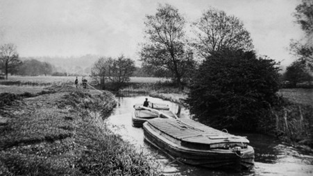
Established by a 1705 Act of Parliament, the River Stour Navigation was an early statutory waterway stretching from Cambridge to the estuary at Manningtree.

The Broad is an area of open water alongside the River Bure in Norfolk, within The Broads National Park.
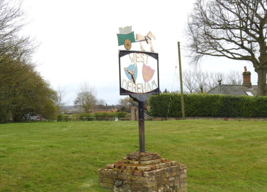
Village sign at West Dereham, Suffolk [Adrian S Pye licensed for reuse under Creative Commons Licence]

Along the River Stour on the border of Suffolk and Essex, a chain of watermills has served local communities for roughly a millennium.